Cold this weekend; Drier Sunday; Warmer Monday
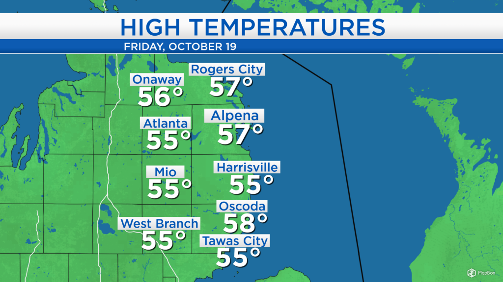
Temperatures today reached the middle and upper 50s with winds out of the southwest about 15 mph. The warmth is about to come to an end as a cold front moves through the area tonight.
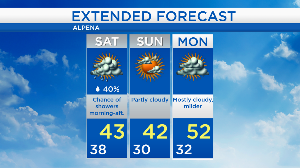
Just ahead of the cold front, showers are moving through Northeast Michigan. A few hours of dry and cloudy weather are likely overnight, then a couple of scattered showers are possible tomorrow morning and afternoon. On Sunday, clearing skies from the west will enter the area.
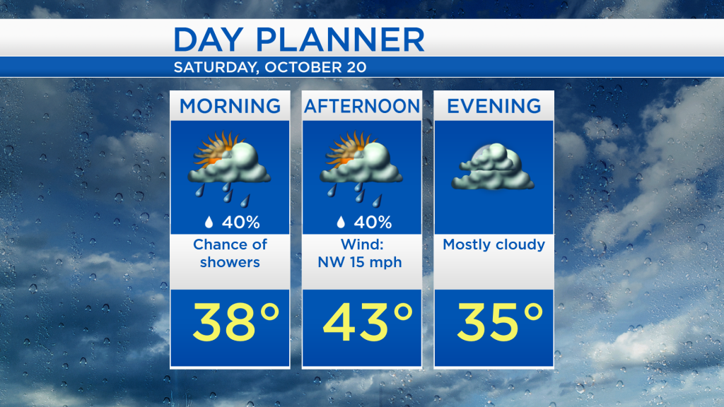
In the morning, temperatures will start in the upper 30s with a chance of scattered showers. There is a limited chance of flurries mixing in well northwest of Alpena, mainly in sections of Montmorency, western Presque Isle, Otsego, and Cheboygan counties. Winds out of the northwest will push colder temperatures into the area, afternoon highs will reach only into the lower 40s. The chance of showers will decrease late tomorrow as drier air begins to enter.
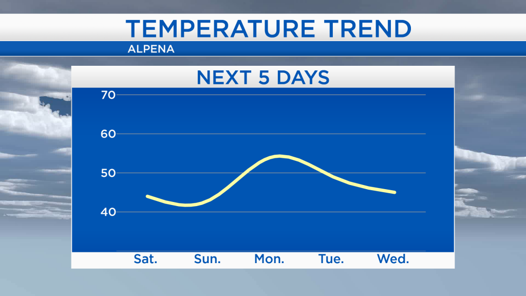
High temperatures this weekend will only reach the lower 40s. On Monday, winds will shift out of the southwest, pushing warmer temperatures into the area. Temperatures will back off slightly Tuesday and Wednesday into the mid-40s, then rebound at the end of the week closer to 50 degrees.
Colder temperatures and a chance of scattered showers will move in tomorrow. On Sunday, early-morning temperatures will start around 30 degrees, then highs will reach only around 42 degrees with partly cloudy skies. More cloud cover is expected Monday as highs warm into the lower 50s. For the rest of Northeast Michigan’s weather forecast, watch the latest weather video by clicking the weather tab at the top of the page.