Cooler temperatures arriving Thursday; Dry skies through this weekend
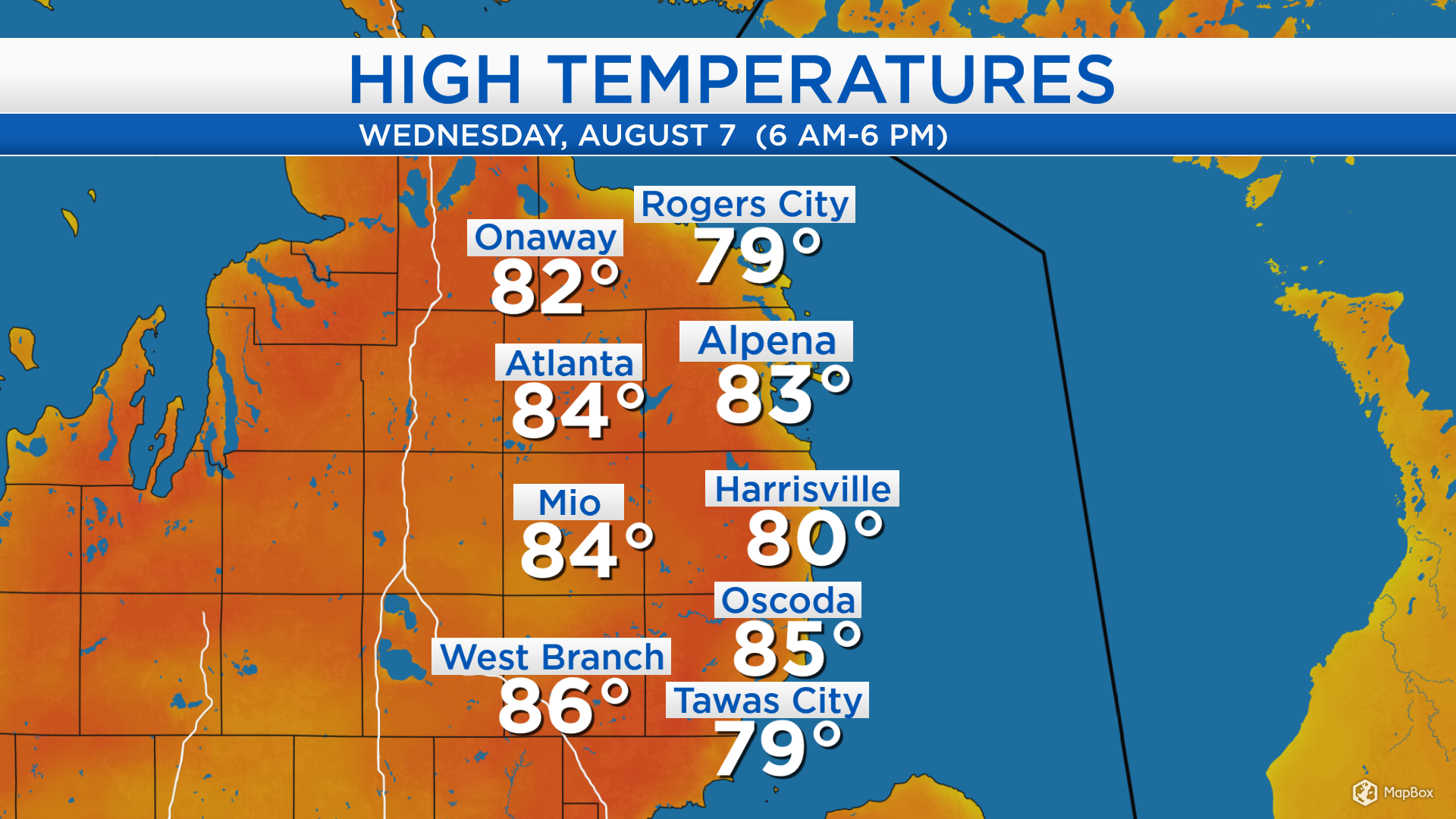
High temperatures today reached the lower to middle 80s across Northeast Michigan. Some patchy fog early this morning lifted and gave way to afternoon sunshine. Several bright hours combined with winds out of the southwest brought warm temperatures and higher humidity to our area.
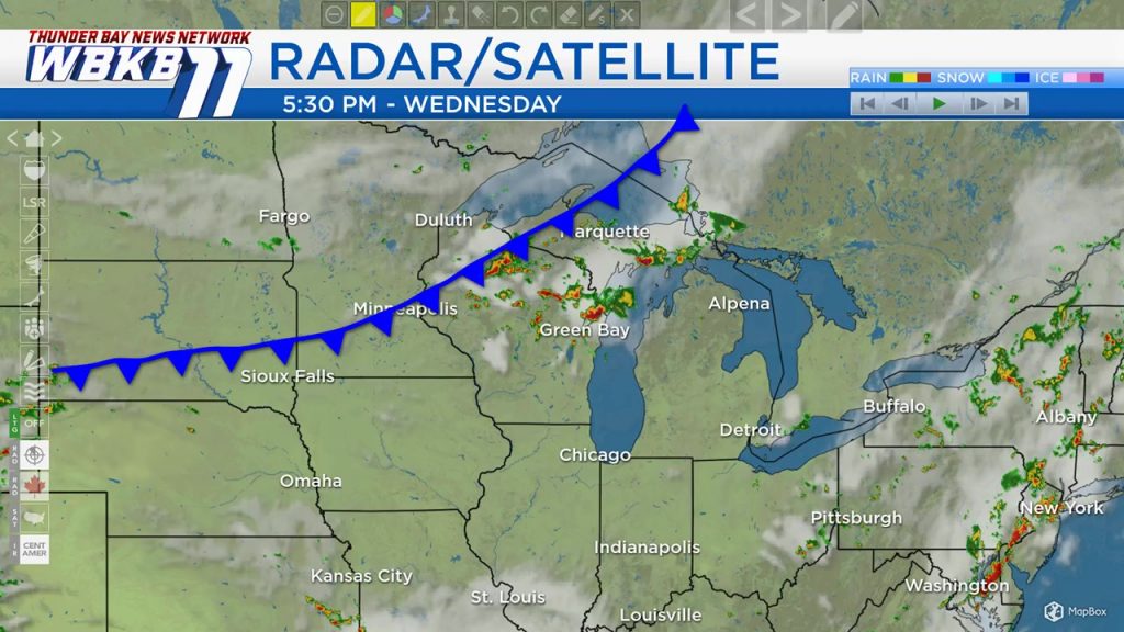
A cold front extending across the Upper Peninsula, Wisconsin, Minnesota and South Dakota is moving eastward. It will bring a risk of thunderstorms to our area tonight, and the cold front will introduce a cooler temperatures moving in tomorrow.
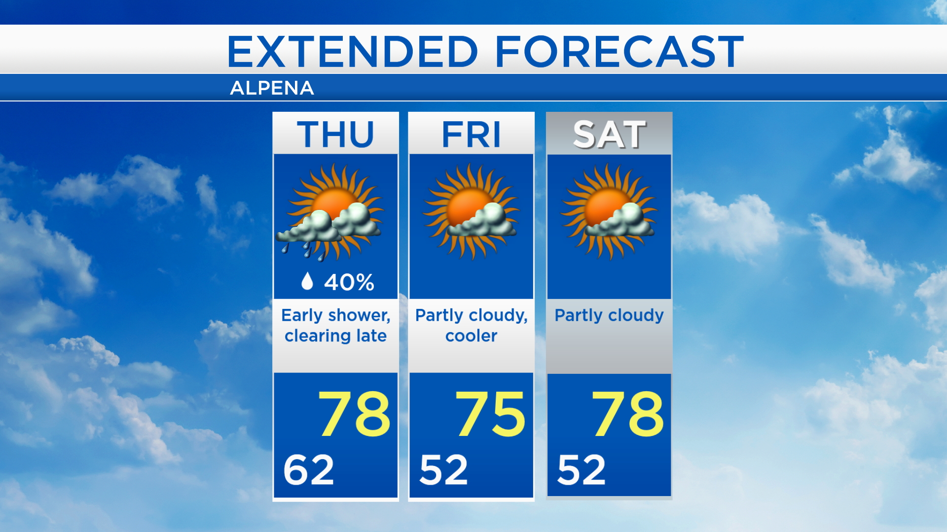
Low temperatures will cool to the lower 60s overnight as showers and thunderstorms move through Northeast Michigan. A few isolated showers are possible early tomorrow with morning temperatures in the 60s. Cloud cover will gradually clear in the afternoon and evening, and high temperatures will reach close to 78 degrees.
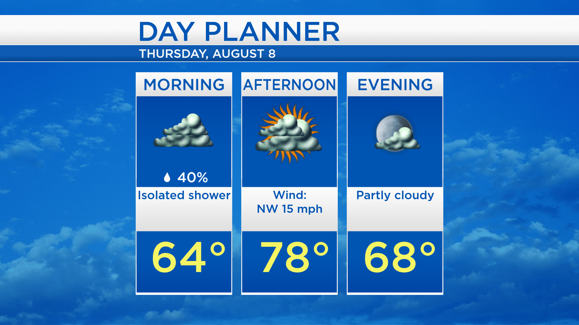
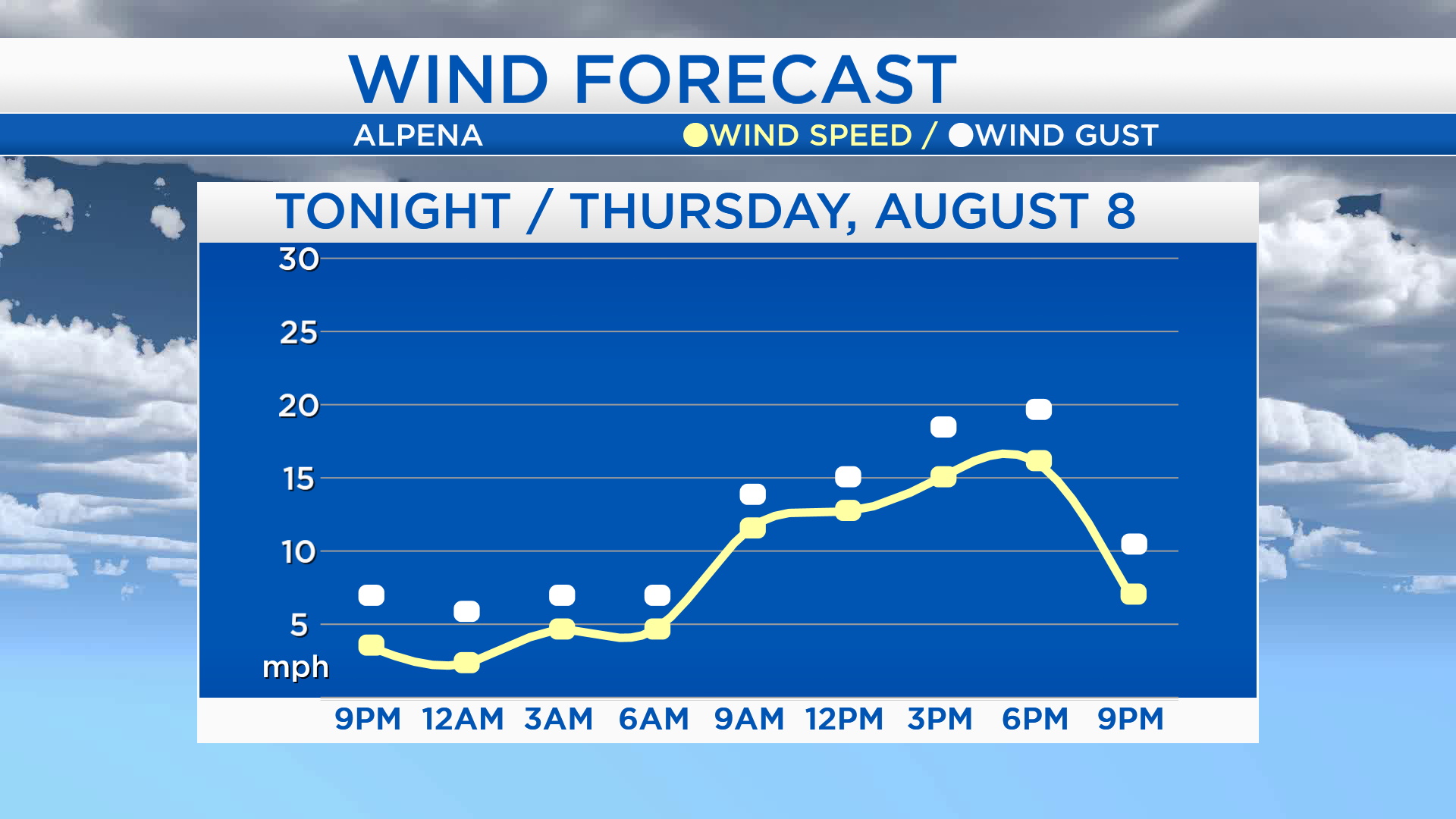
Tomorrow will feel fresher because of winds out of the northwest. Winds speeds near 5 mph are expected tonight. Tomorrow, sustained wind speeds will increase to about 15 mph, and wind gusts over 20 mph are possible in the afternoon.
Cloud cover will begin to clear late in the day tomorrow. Winds out of the northwest will bring cooler temperatures and lower humidity. High temperatures on Thursday will reach the upper 70s, then low temperatures will drop to the lower 50s early Friday. Partly cloudy skies are expected with highs around 75 degrees Friday afternoon. Partly cloudy skies will continue through the weekend, high temperatures will reach the upper 70s on Saturday and close to 80 degrees Sunday. For the rest of Northeast Michigan’s weather forecast, watch the latest weather video by clicking the weather tab at the top of the page.