Winds calming and skies clearing, plenty of sunshine tomorrow
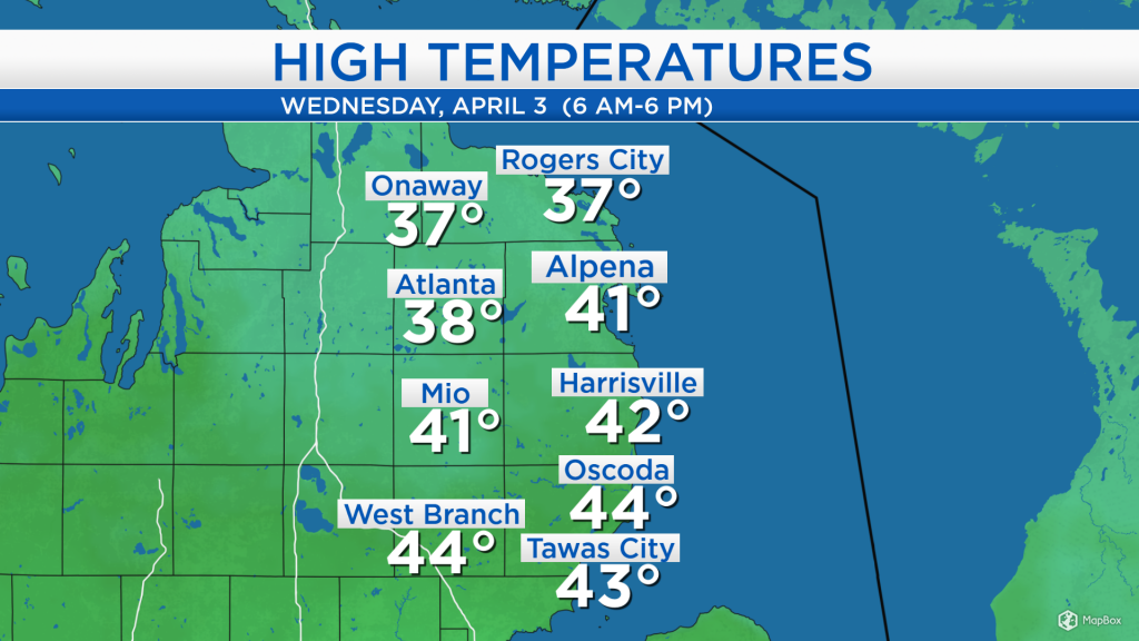
High temperatures today reached the lower 40s for most of Northeast Michigan. However, it felt colder given a very noticeable wind chill because of wind speeds at 15-20 mph out of the west and occasionally higher gusts that peaked at 30-40 mph. A few flurries fell in the morning, then some sun shone midday to early afternoon. Since then, clouds have returned to our area for a short white this evening.
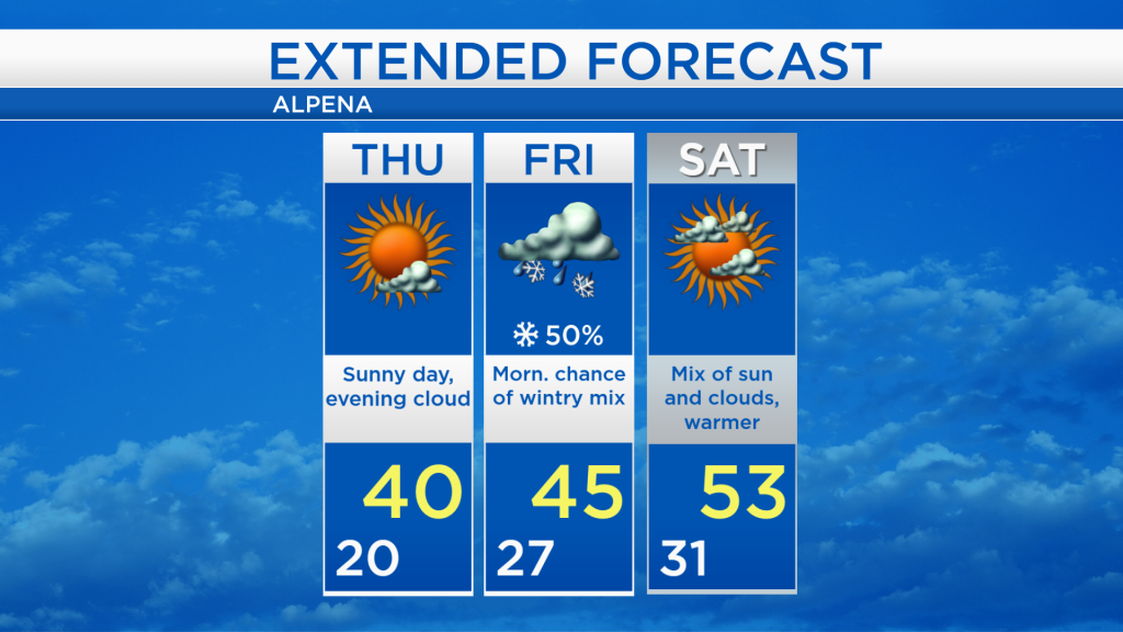
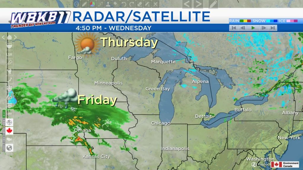
A high pressure system in Northern Minnesota will drift eastward and bring us clearing skies. Sunny skies are expected tomorrow morning and afternoon, then cloud cover will increase late-day. A storm system off to our southwest could bring us a wintry mix of rain/snow/sleet early Friday.
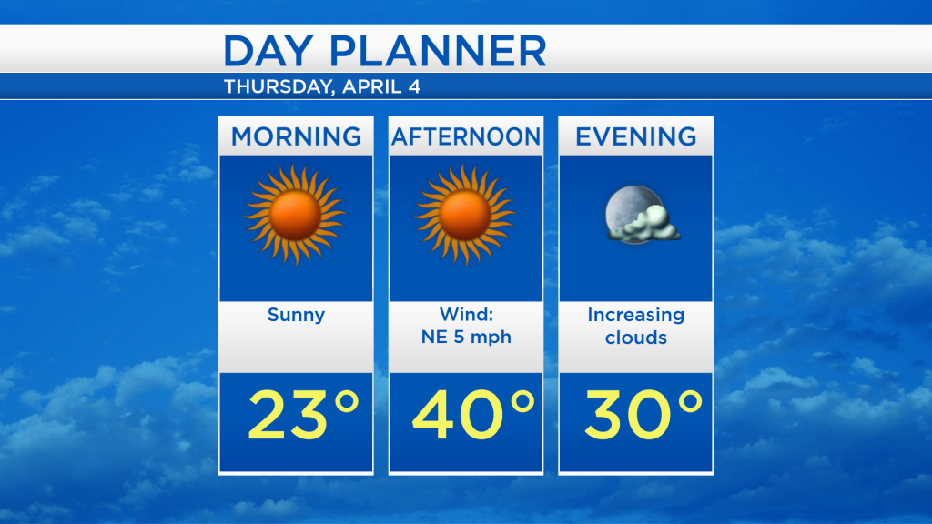
Skies will become mostly clear tonight as winds ease and temperatures drop to overnight lows around 20 degrees. High temperatures tomorrow afternoon will get close to 40 degrees with sunshine and light winds.
The northern edge of a storm system passing to our south could graze our area with a wintry mix early Friday. All precipitation types are possible (rain, snow, sleet and even a slight risk of freezing rain) — this could create slick roadways for a few hours Friday morning. While cloudy skies will last all day, any precipitation should clear by the afternoon hours.
Tomorrow will be a gorgeous day to spend outside although slightly cool, with plenty of sunshine and high temperatures close to 40 degrees. Skies will become gray late Thursday and Friday as temperatures rise to the middle 40s Friday afternoon. The upcoming weekend will start with dry weather on Saturday, then the chance of rain will increase Sunday afternoon/evening. High temperatures both days this weekend will warm to the lower or middle 50s. For the rest of Northeast Michigan’s weather forecast, watch the latest weather video by clicking the weather tab at the top of the page.