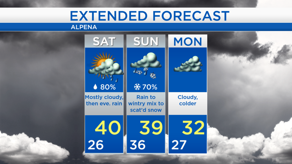
Rain changing to snow starting late Saturday
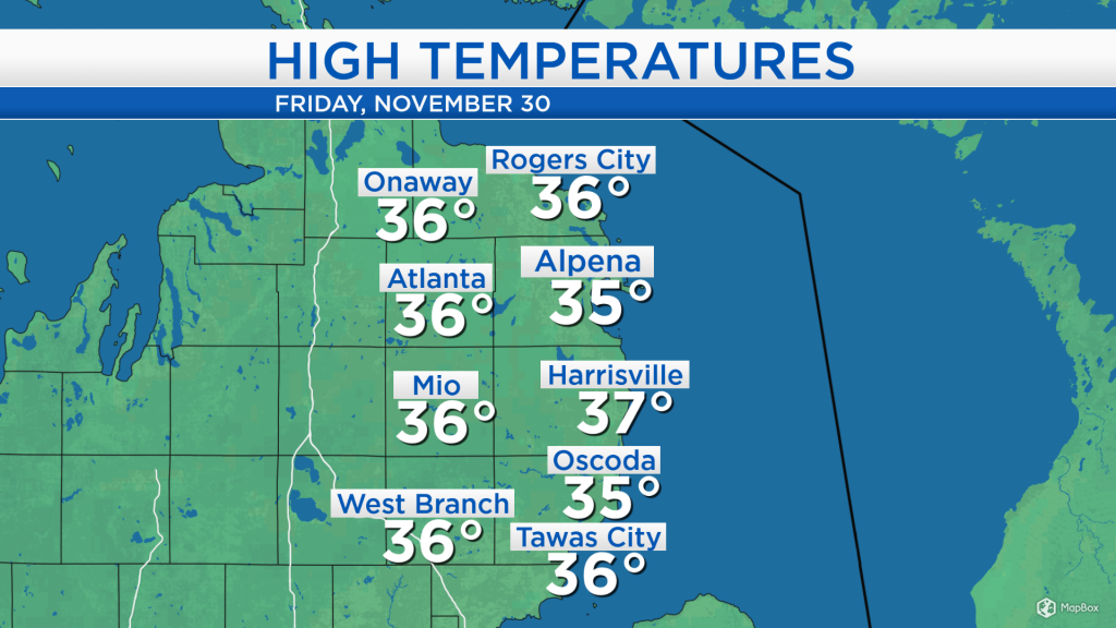
High temperatures reached the middle and upper 30s under cloudy skies. Temperatures will warm slightly this weekend, just before the wet weather arrives.
A storm system that originated over the Pacific, traveled through the southwestern U.S., is currently centered over the Oklahoma Panhandle and will turn toward the Great Lakes. Initially, precipitation will start as rain for our area, then transition to snow on Sunday as colder air from the north begins to enter.
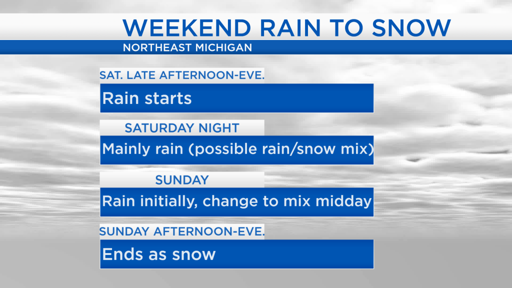
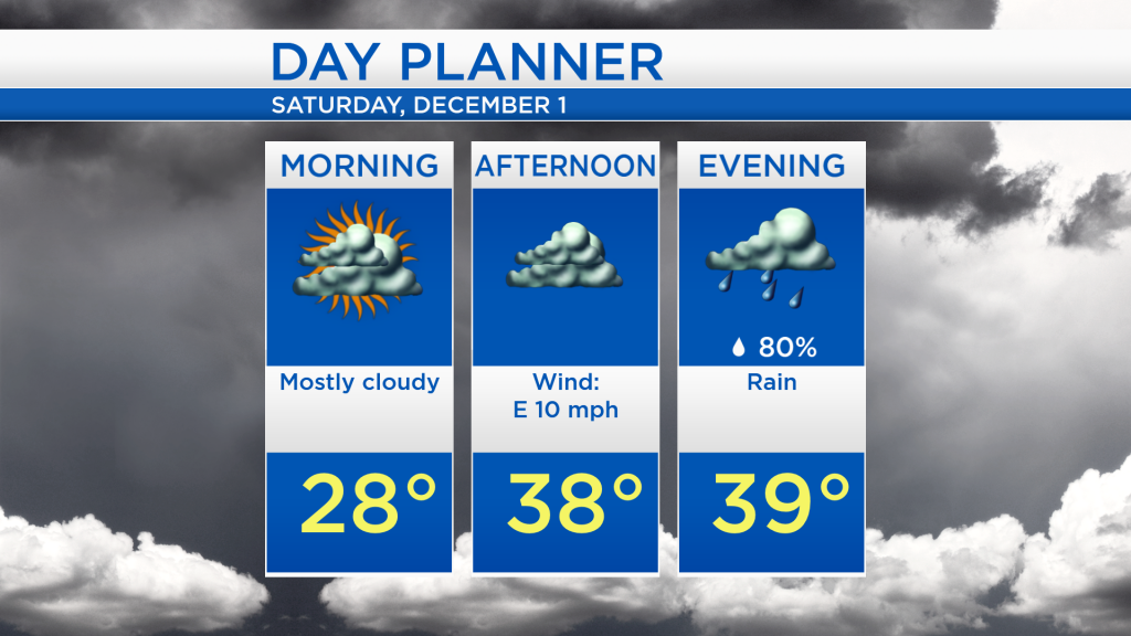
Saturday will start dry and mostly cloudy, then in the late-afternoon, rain will spread in from the south. There’s a chance for a rain/snow mix Saturday night, although the precipitation will fall mainly as rain from Saturday evening through Sunday morning. At that point, rain will transition to a wintry mix (rain/sleet/snow) Sunday midday, then eventually becoming all snow Sunday afternoon.
For tomorrow, morning temperatures will start in the upper 20s with mainly cloudy skies. High temperatures will reach around 40 degrees late-day or early-evening as the rain arrives in Northeast Michigan.
Despite the mix of rain and snow this weekend, temperatures will reach warmer values than we have felt all week. Highs should reach 40 degrees late Saturday. Then on Sunday, a high of 39 degrees is forecast in the late-morning before temperatures fall during the afternoon, causing rain to change to snow. Quieter weather is expected early next with cloudy skies and colder temperatures, reaching the lower 30s for afternoon highs. For the rest of Northeast Michigan’s weather forecast, watch the latest weather video by clicking the weather tab at the top of the page.