Rain and snow to end the week
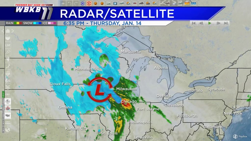
A storm system strengthening near the northeast Iowa-Wisconsin border will spread a rain/snow mix into our area before daybreak early Friday. A rain/snow mix is likely with temperatures reaching the upper 30s Friday afternoon. Expect some roadways and sidewalks to become slushy. Saturday, some additional scattered snow showers are possible.
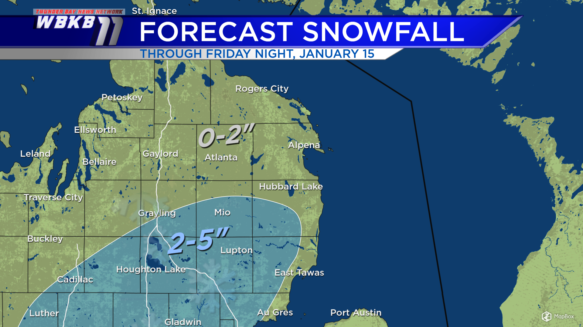
Predawn Friday through Friday night, 2-5 inches of wet snow/slush are possible for areas south of M-72 and away from the Lake Huron shoreline. The area that has the best chance of getting more than 2 inches of snow is highlighted in blue. Lower snowfall are forecast elsewhere, also mixing with rain.
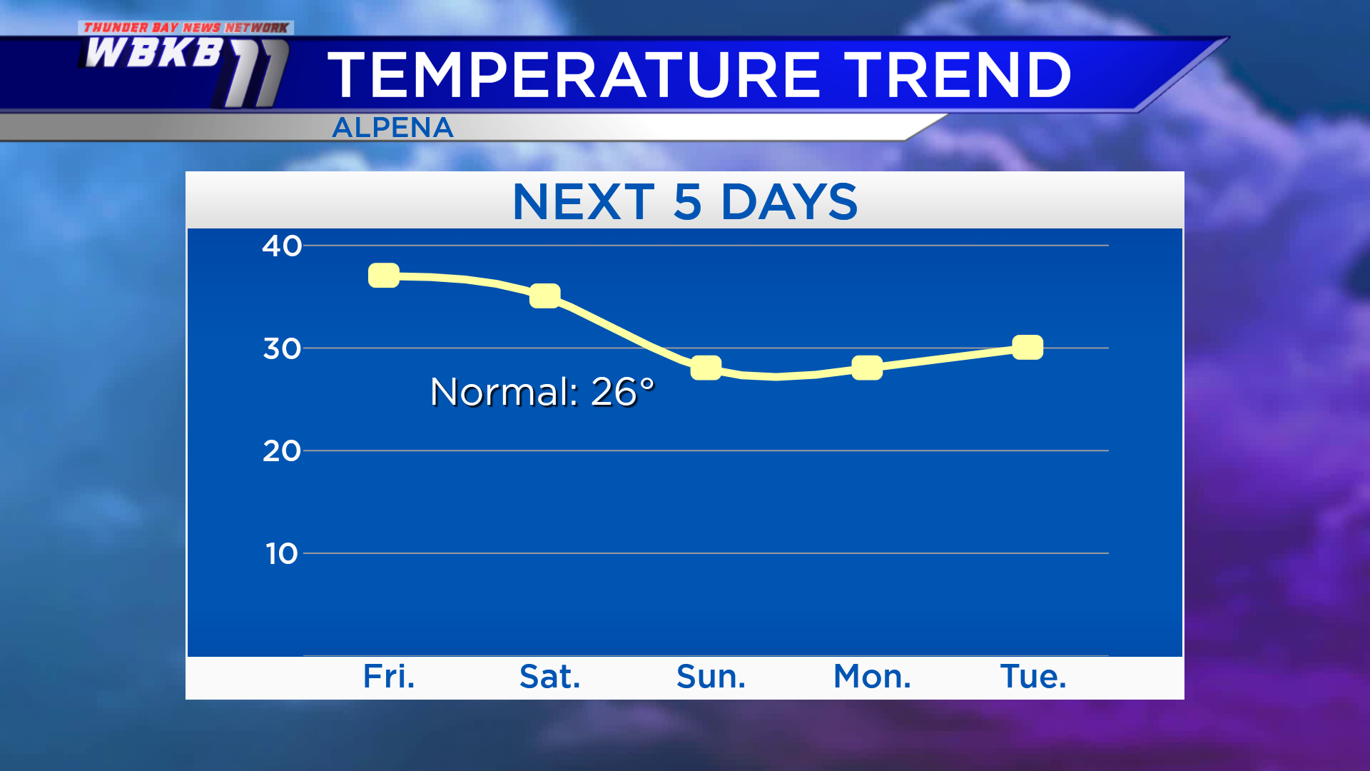
Behind this storm system, temperatures will become significantly colder early next week. Although it may feel cold coming off this two-week stretch of warmth, temperatures will be returning to typical values for January! Highs will reach the upper 30s (again) Friday afternoon. Saturday, highs will will get into the middle 30s. After that, January-like temperatures arrive with highs in the upper 20s Sunday. The coldest temperatures over the next several days are forecast early Monday with lows in the teens. Then highs will climb to the upper 20s Monday afternoon.
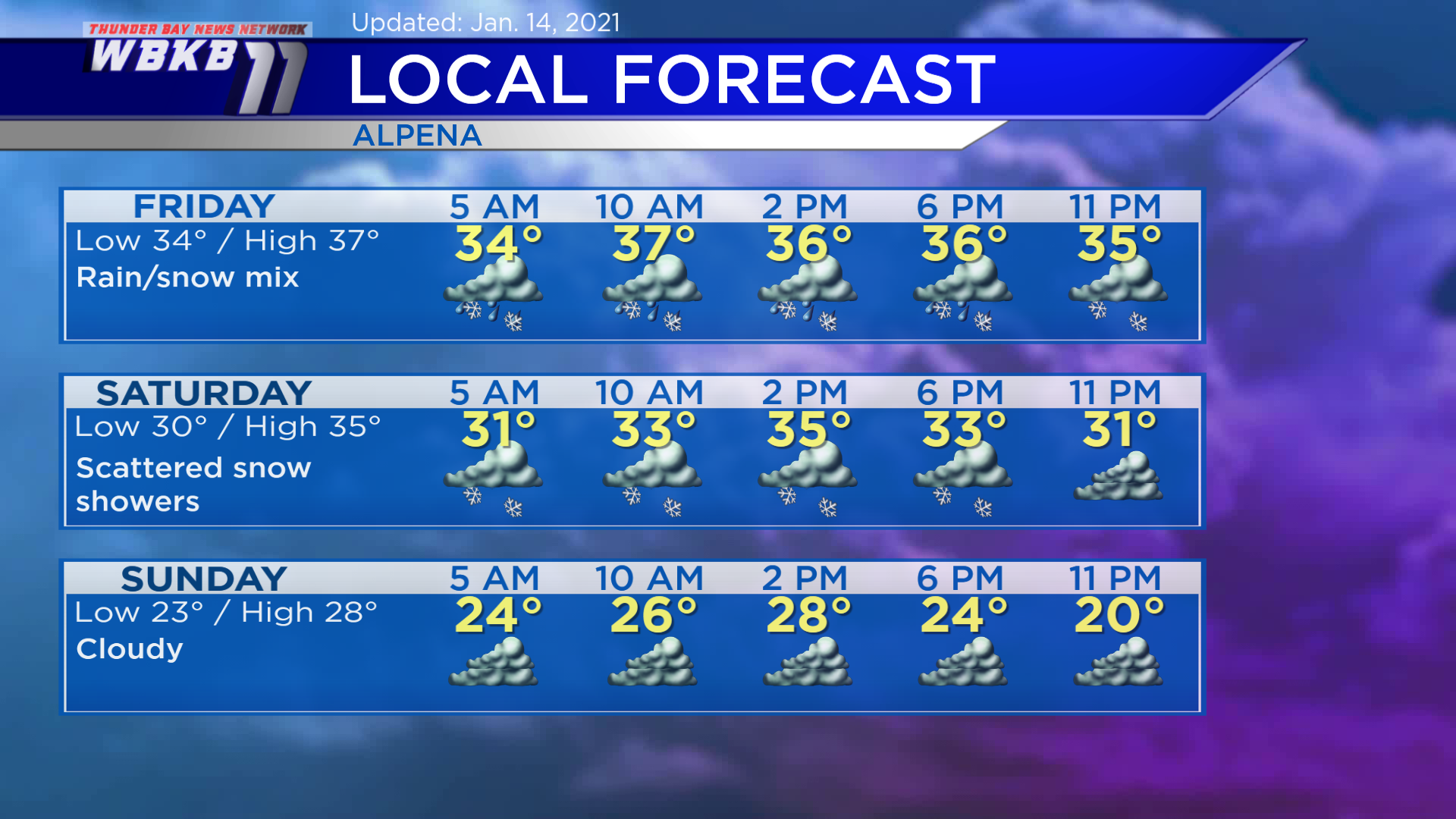
Friday: Rain/snow mix. Early-morning temperatures will be in the lower/middle 30s. Highs will reach near 37 degrees midday. Evening temperatures will be in the middle 30s.
Saturday: Scattered snow showers. Predawn temperatures will begin close to 30 degrees. Afternoon highs will climb to about 35 degrees. Evening temperatures will be in the lower 30s.
Sunday: Cloudy and getting colder. Early-morning temperatures will drop to the lower 20s. Afternoon highs will be around 28 degrees. Evening temperatures will cool to the lower 20s.
For the rest of Northeast Michigan’s weather forecast, watch the latest weather video by clicking the weather tab at the top of the page.


