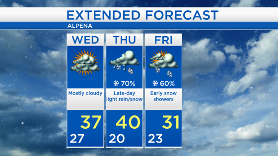
Dry Wednesday; Rain changing to snow late Thursday
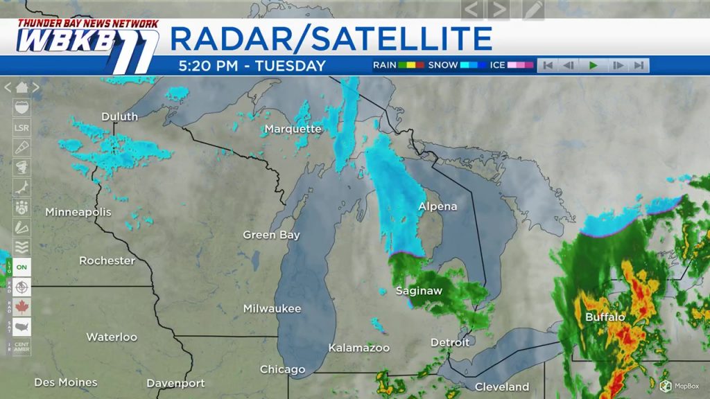
A weak disturbance moving through our area is producing scattered snow showers. Additional snow showers will be possible tonight, then mainly dry conditions are on the way tomorrow. The next storm system coming from western Canada will arrive Thursday afternoon.
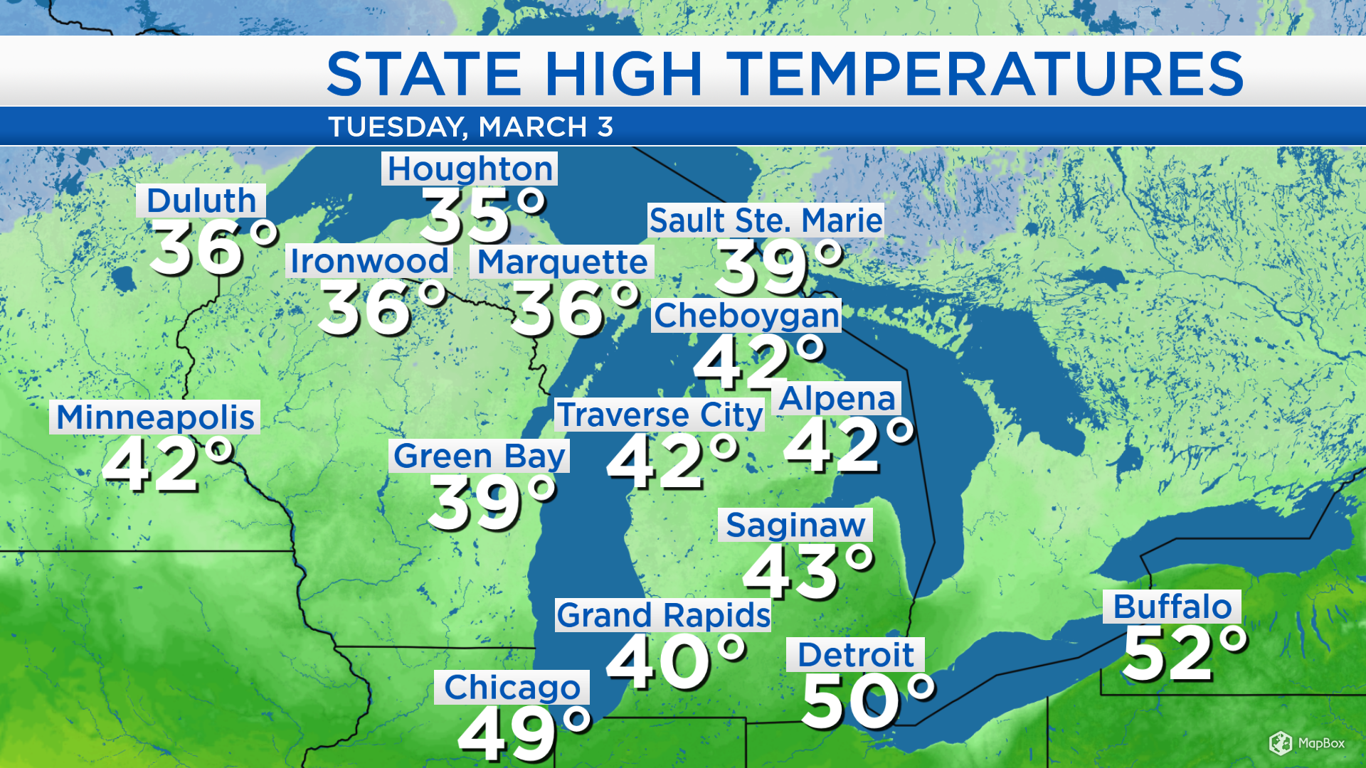
It was another warm one today, high temperatures reached 42 degrees in Alpena. Winds becoming out of the northwest late-day tomorrow will bring in some cooler temperatures. Highs are expected to reach the upper 30s on Wednesday.
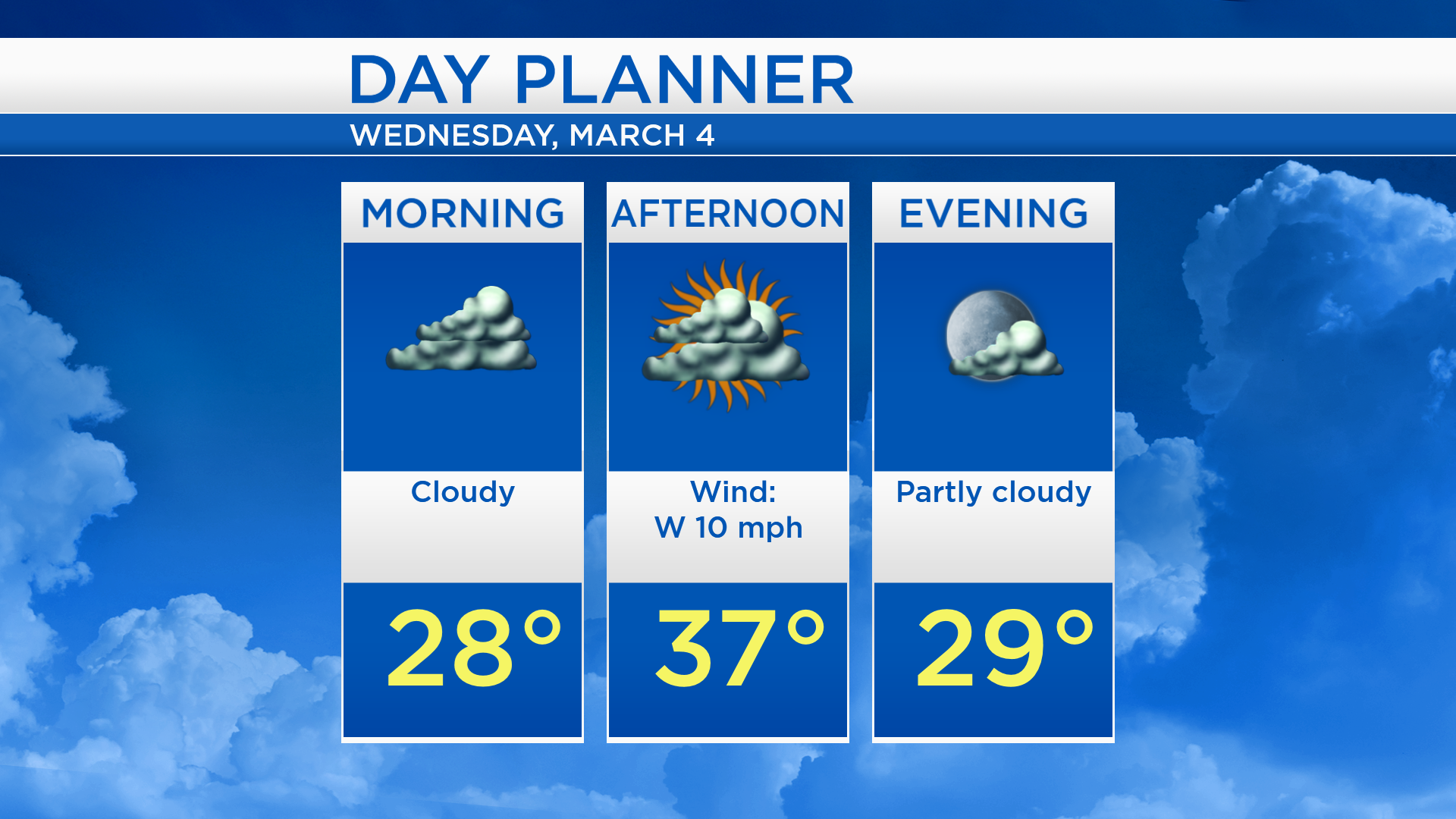
Low temperatures overnight will cool to about 27 degrees. Morning temperatures will be in the upper 20s with cloudy skies. Afternoon highs will reach about 27 degrees and a light breeze will come from the west, about 10 mph. Temperatures tomorrow evening will cool to the upper 20s with less cloud cover.
Highs on Wednesday will be in the upper 30s. Winds out of the south will push temperatures up to the 40 degree mark Thursday afternoon. A cold front will move through our area Thursday night. Winds out of the north will bring colder temperatures Friday, afternoon highs will be in the lower 30s. The cooling will not last long — warmer temperatures will move in this weekend. Highs will reach about 40 degrees Saturday, and warm to the lower 50s Sunday.
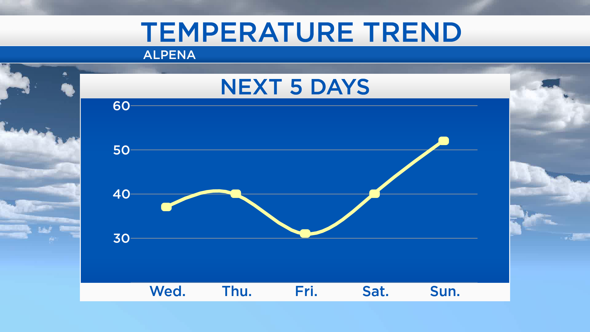
Wednesday is looking mostly cloudy and highs will be about 37 degrees. Thursday will start with early-morning temperatures near 20 degrees. Afternoon highs will be close to 40 degrees as light rain moves in. Rain showers will change to snow late Thursday evening as temperatures cool to the lower 20s by early Friday. Friday will be cooler with clearing skies late-day. The weekend is should end up completely dry and warmer. For the rest of Northeast Michigan’s weather forecast, watch the latest weather video by clicking the weather tab at the top of the page.