Dry start to the weekend as warmer temperatures continue
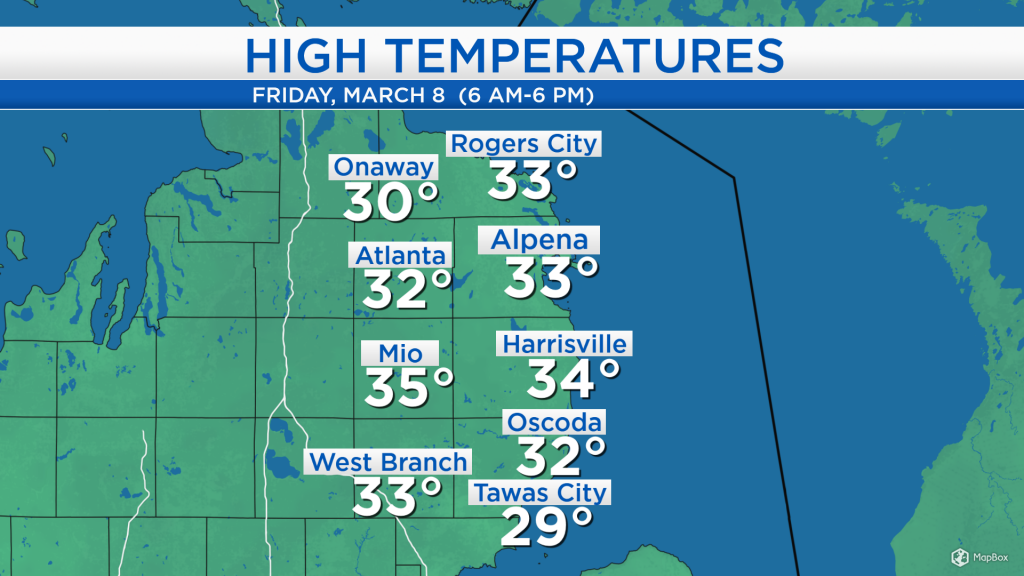
High temperatures today reached the lower to middle 30s across most of Northeast Michigan, the warmest temperatures we have felt since March 1! We enjoyed mostly sunny skies with light winds out of the southwest about 10 mph. Dry weather will last through most of Saturday.
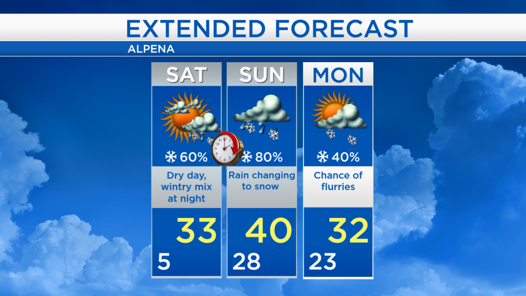
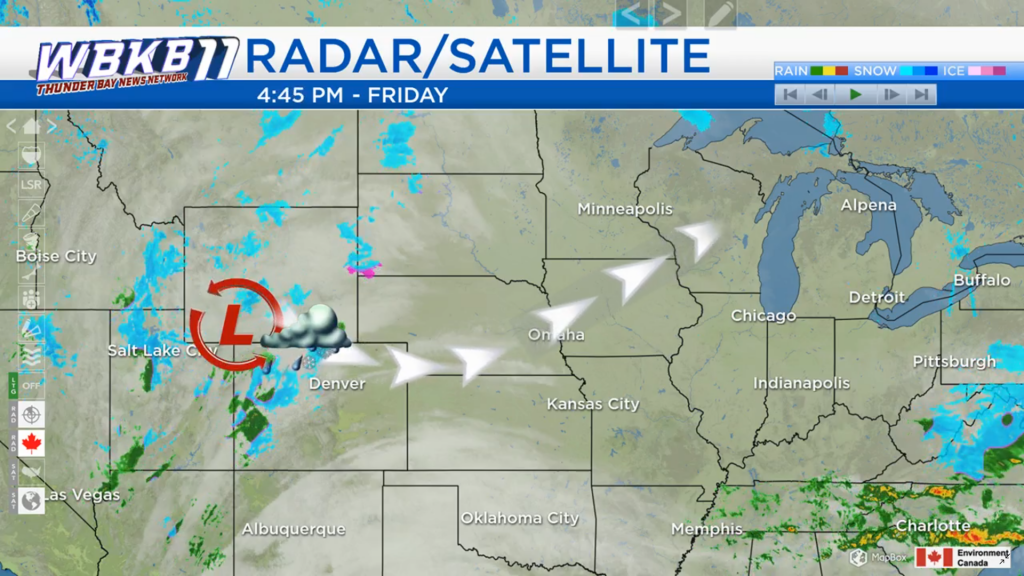
Mostly clear skies currently extend across the Midwest, but there is a low pressure system developing near the Wyoming-Colorado border. This area of low pressure is bringing a mix of rain and snow. It will travel northeastward, through the Great Lakes region early Sunday. In Northeast Michigan, a chance of a wintry mix will arrive Saturday night, then transition to rain as temperatures warm on Sunday.
Low temperatures tonight will drop to around 5 degrees. Temperatures will already climb to the lower teens tomorrow morning, and afternoon highs will reach around 33 degrees with increasing cloud cover. A combination of higher moisture and a breeze out of the southeast will keep low temperatures very mild Saturday night-early Sunday, around the upper 20s.
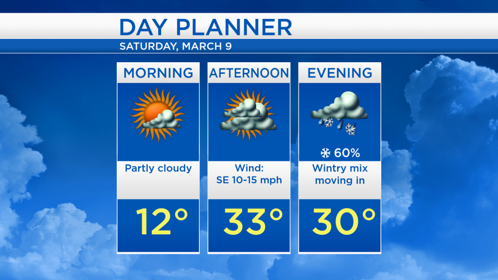
Tomorrow will remain dry during the daytime hours with highs in the lower 30s. A wintry mix will move in Saturday night, then transition to rain on Sunday as temperatures warm to 40 degrees. The precipitation may end as snow as cooler air arrives Sunday night-Monday. There is a chance of light flurries on Monday with highs in the lower 30s. Temperatures will then warm in the middle of the week. For the rest of Northeast Michigan’s weather forecast, watch the latest weather video by clicking the weather tab at the top of the page.