
A very warm start to spring
High pressure will remain in control of our weather and bring clear skies going into the weekend. A high pressure system is located nearly over our area. On the other side of this high pressure system, winds will pick up out of the south-southwest. Those winds will bring warm temperatures as spring begins.
Far out to the west, a feed of moisture coming off the Pacific is moving onto the central California coast, also into parts of Nevada and Idaho. A budding storm system over Nevada will first move through the southern Plains then turn toward the Great Lakes. This will increase the chances of rain locally early next week.
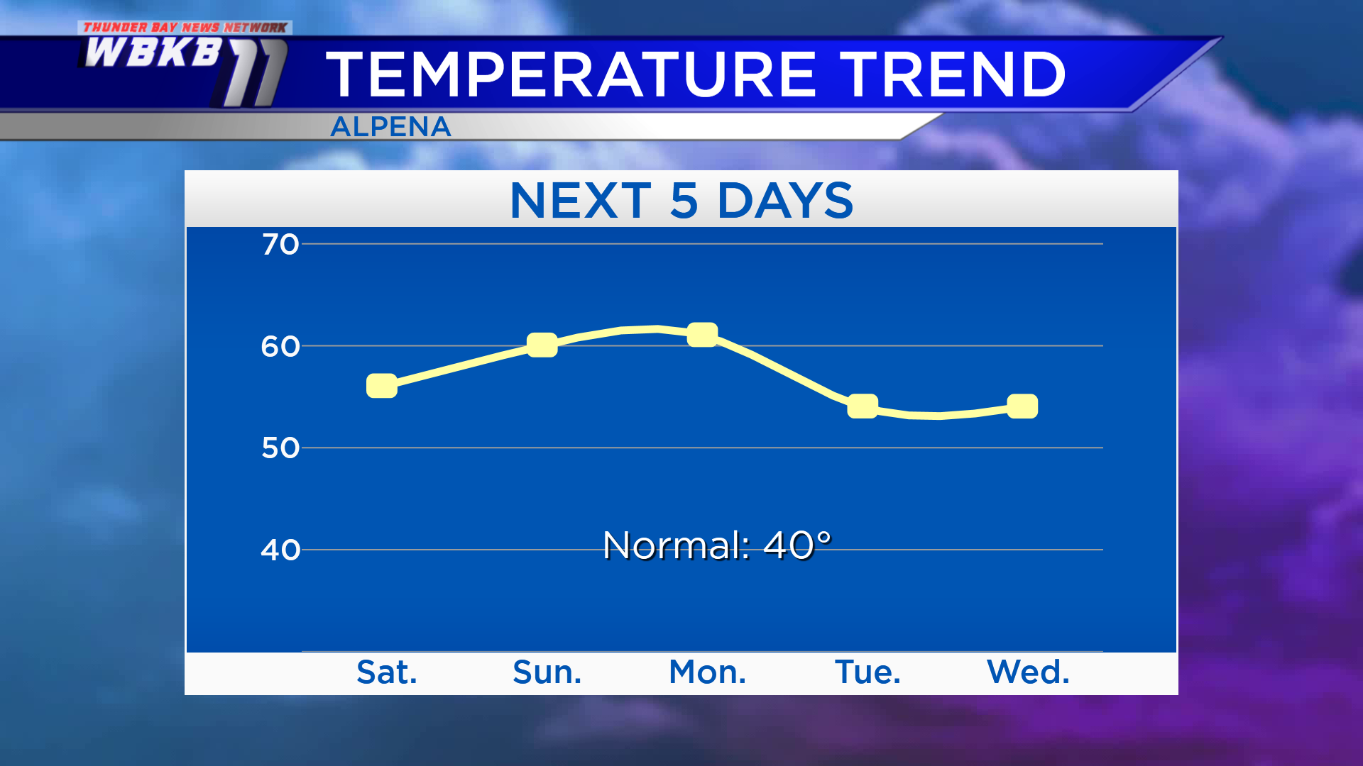
Temperatures will reach highs in the middle 50s Saturday. Then even warmer temperatures will arrive Sunday and Monday. Highs will be close to 60 degrees Sunday afternoon, and near 61 degrees Monday. Even as it gets a little cooler Tuesday and Wednesday, daily highs will still be running several degrees above normal for late-March.
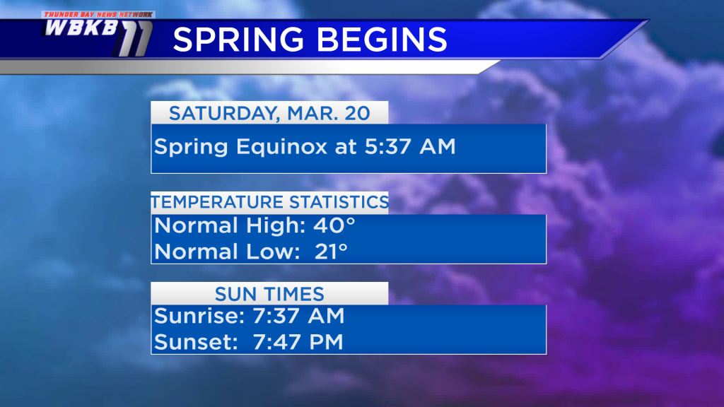
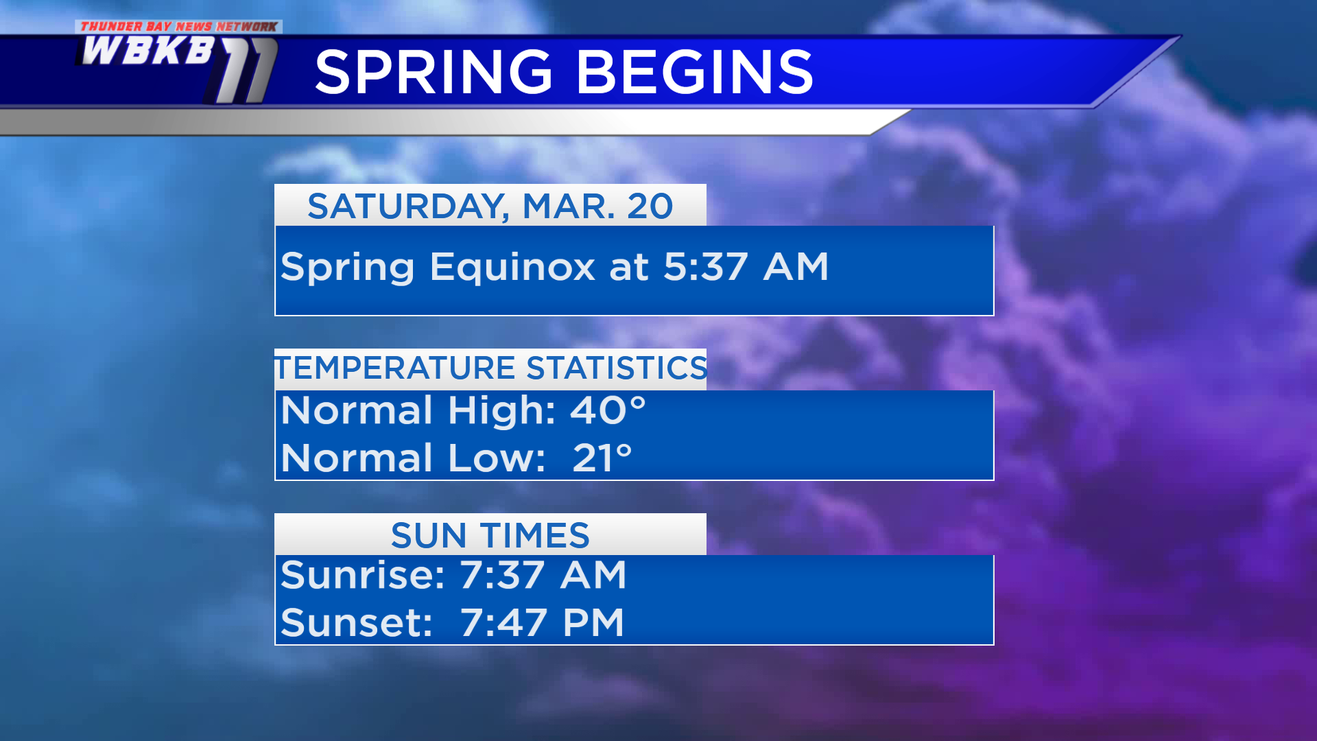
Spring begins Saturday at 5:37 a.m. The equinox marks the point when the sun rays point directly over the equator. Due to the tilt of the earth, the sun’s rays will point farther north of the Equator as we go toward summer. Temperatures will be well above normal for the start of spring. Sunrise for the first day of spring will be a few minutes after 7:30 a.m., and sunset will be just shortly after 7:45 p.m.
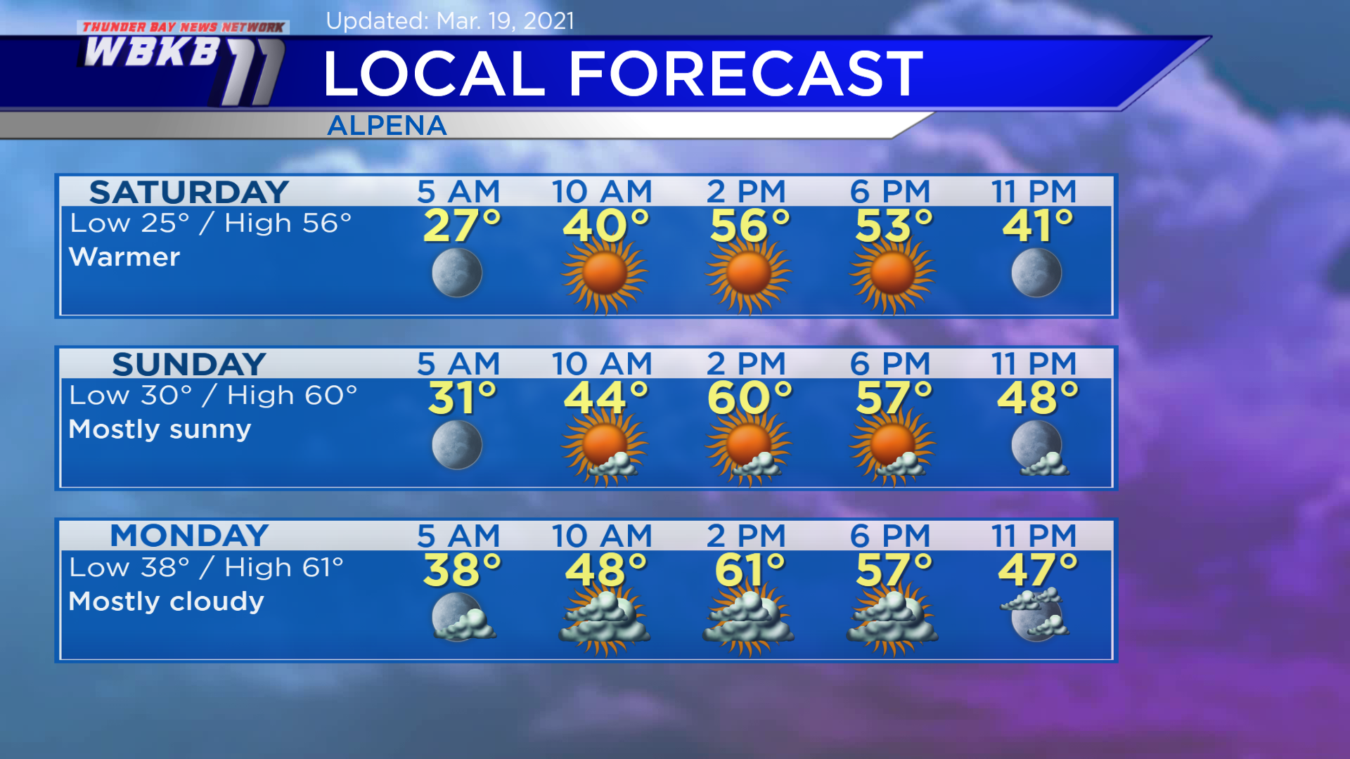
Saturday: Sunny and warmer. Predawn lows will be heading down to about 25 degrees. Late-morning temperatures will climb to the lower 40s. Afternoon highs will be close to 56 degrees. Evening temperatures will go into the 40s.
Sunday: Mostly sunny, more warmth. Early-morning temperatures will cool to around 30 degrees. Temperatures will rise to the middle 40s by the late-morning. Afternoon highs highs will reach near 60 degrees. Evening temperatures will remain warm, mainly in the middle/lower 50s.
Monday: Mostly cloudy, still warm. Predawn temperatures will be heading to the upper 30s. Afternoon highs will be about 61 degrees. Evening temperatures will go from the middle 50s to upper 40s.
Our next chance of rain showers will move in late Tuesday. For the rest of Northeast Michigan’s weather forecast, watch the latest weather video by clicking the weather tab at the top of the page.


